Louisiana to Face Severe Weather Threat on Thursday
Believe it or not, what we call "winter" in Louisiana is about over. Now, sure there will be a couple of more days where the temperatures will be chilly and made to feel even colder by a gusty breeze but for the most part, we are done with the threat of frozen plants, pipes, pets, and anything else that can freeze.

Okay, to be clear, the last official frost for Lafayette is usually before February 25th, that's ten days away. In Lake Charles, that date is March 1st and in Shreveport, you can count on the last visit from Jack Frost to be somewhere before March 16th. We tell you that to make you aware of this. It's these transitional times in-between seasons that Louisiana's threat for severe weather really ramps up.
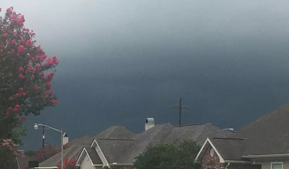
We are actually in the midst of Severe Weather Awareness Week in Louisiana and it does look as if we might have some actual severe storms that we'll need to be aware of. The timing on when those storms will arrive is still up in the air just a bit. But, forecasters with the Storm Prediction Center are suggesting that late Wednesday into Thursday could be when we will see the bumpiest of stronger storms.

It does look as if the greatest threat for stronger storms will happen in central and northern Louisiana on Thursday. The SPC has placed the area from just north of Lafayette through Alexandria including Shreveport, Monroe, and Vidalia in the Slight Risk for severe storms category. The remainder of the state will be under a Marginal Risk for severe storms.
Now, if you're not sure what those designations mean:

In the short term, most of Louisiana should have no weather worries today. In fact, Wednesday will be nice as well but clouds will begin building into the area during the day. You should also plan for a slight risk of rain late in the day on Wednesday too.
Rain chances will escalate over the nighttime hours of Wednesday and by Thursday most of the area will see a significant threat of rain and thunderstorms. Thursday will be a transitional day with gusty winds and storms yielding to gusty winds and cooler temperatures by late in the day.

Thursday night will be quite windy with temperatures falling into the upper 30s. For the Mardi Gras parades that are scheduled to step off on Friday night and roll on Saturday weather conditions should be wonderful, just take a jacket it will be breezy and cool.
It certainly shouldn't be a "three dog night" but you might want to have something furry and warm to keep you company.
KEEP READING: Check out these totally awesome '80s toys
More From Cajun Radio 1290 AM