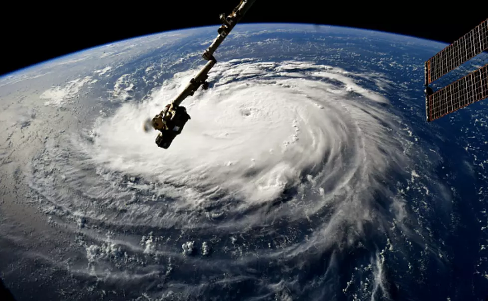
Interactive Map Shows Area Risk of Storm Surge Flooding
The above map, compiled and provided by climatecentral.org,allows you to see the effects of rising sea levels on coastal areas. The map is interactive, so you can click around and check out different elements, but here are a few interesting takeaways.
The water level slider allows you to increase the water level above the local high tide line by 1 foot increments, up to 10 feet. (Which you can use to project things like storm surge.)
According to this map, at just one foot about the local high tide line, coastal areas begin to flood. Most of the Louisiana coastline starts to go underwater, along with parts of Southeast Texas.

At five feet, the flooding begins to push as far inland as Ponchatoula, LA, and cities near rivers begin to flood, such as Jennings, Lake Charles, and Moss Bluff in Louisiana, along with Bridge City, Beaumont, and Vidor, TX.

At ten feet above the local high tide line, all coastal cities are completely flooded, with the waters extending as far inland as Baytown and Liberty, Texas. All of Southeast Texas and Southwest Louisiana also flood, as much of the Louisiana coastline goes underwater.

It's an interesting map to play around with. For reference, Katrina produced a storm surge of 27.8 feet at its highest, which is a lot higher than this map goes up to.
More From Cajun Radio 1290 AM