Severe Weather Threat Moves into Louisiana by Wednesday
It is the time of year when residents of the Gulf South stop looking towards the tropics for our main weather threat and start to look back over our shoulders toward the Great Plains and the Rocky Mountains. As the seasons shift from summer to fall and fall to winter our weather pattern shifts accordingly. By the time late October rolls around we are usually less concerned with tropical storms and more concerned with frontal systems.

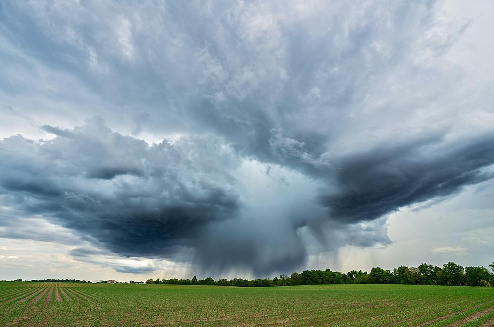
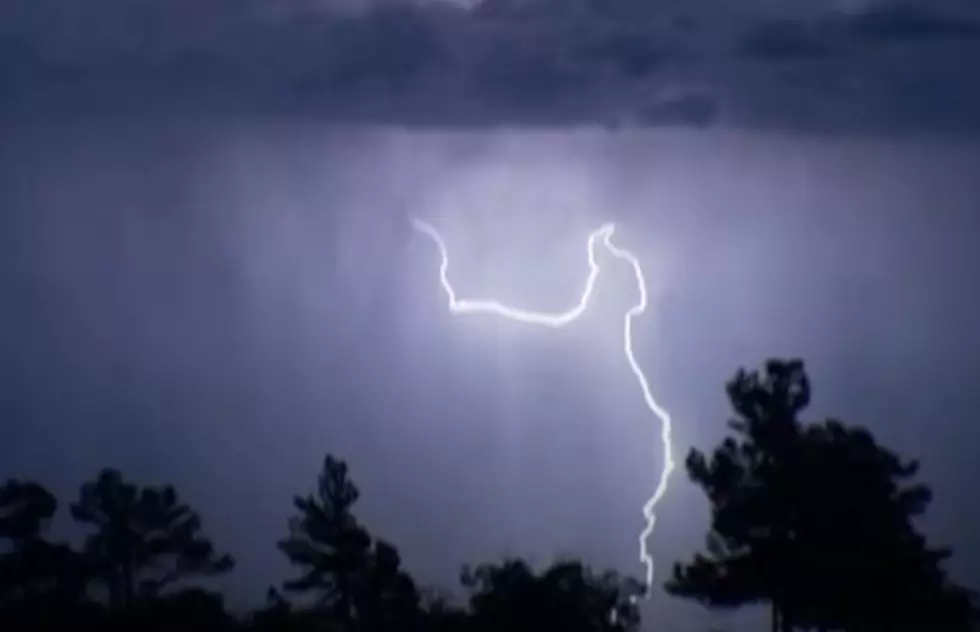
Currently, a rather strong frontal system is pushing its way across the nation's midsection. By Wednesday, storms associated with this frontal system will push into Louisiana. The forecasters with the Storm Prediction Center are suggesting that some of these storms could reach or exceed severe limits as they move through the state on Wednesday.

When Will Lake Charles and Lafayette Likely Experience Strong Storms?
With a storm system this strong moving across the heartland it's only a matter of time until some of that energy pushes its way south of I-20 and into the I-10 corridor. We've also got trick-or-treating to plan for too. In fact, if you keep scrolling you'll see the Halloween outlook for Lafayette, Lake Charles, and all of Southwestern Louisiana.

As of now, it looks as if our severe weather threat will be marginal to slight by Wednesday. Our greatest threat of severe weather will come in the form of strong thunderstorms but as of now, we can't rule out the possibility of a tornado watch being posted for some of the areas as well.
Meanwhile, today and Tuesday should be rather quiet as far as weather phenomena are concerned. Fog will be the biggest issue that South Louisiana residents will have to deal with both today and tomorrow. That fog should be out of the way by mid-morning in areas of the state where it forms.

The current outlook calls for mostly sunny skies with breezy conditions for today and Tuesday but by Wednesday, that's when things will change. Forecasters have a 90% probability of rain and thunderstorms in the forecast for during the day on Wednesday.
The frontal passage should occur by late in the day Wednesday and by Wednesday night most of the rain and severe threat will be pushed off to the east. By Wednesday night the winds will swing around to the west and eventually the north driving temperatures down across the region.
When Should We Pull Out the Gumbo Pots Again?

Forecast high temperatures which will be in the upper 80s today and Tuesday will struggle to reach the lower 70s by Thursday. So, you can see this will be quite a swing in temperatures for the region. In fact, it should result in some of the coldest temperatures of the fall so far. That coupled with a gusty northerly wind will make for a very blustery and cold end of the workweek.
What About the Trick-or-Treat Forecast?

So, there's a pretty good chance of good gumbo weather coming up for the end of the week and into the weekend. Halloween Day, Sunday, should be mostly sunny with a high temperature in the middle 70s.
13 Uses for Your Microwave That Doesn't Involve Food
More From Cajun Radio 1290 AM