Strong Storms and Possible Severe Threat for Louisiana Wednesday
It seems as if we've started the spring weather roller coaster ride a bit early in Louisiana. By roller coaster ride, I am referencing the undulating weather conditions, particularly the temperature, the region has experienced since early December. Normally, some of our state's coldest weather happens around mid-January. And it looks as if another cold front is about to reinforce that statistic.
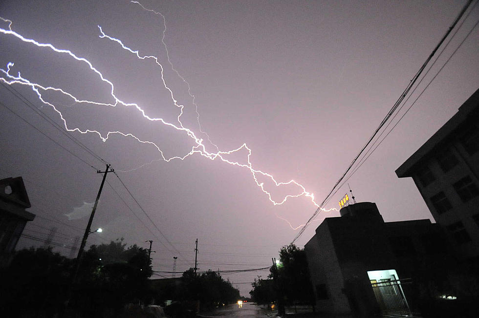
Fresh off the heels of a storm system that rolled in to Louisiana on Saturday and dropped our temperatures to near freezing over the weekend, we are looking at a similar weather situation by Thursday morning. But between now and then, Mother Nature is going to have to expend a lot of energy. Unfortunately, some of that will come in the form of thunderstorms.
Currently, the storm system in question is poised just south of the Canadian border as it's stretched across Montana and North Dakota. During the day today, that cold front with bitterly cold air behind it will drop to the south. By early Wednesday morning, the storm system should be located just to the northwest of Louisiana.

During the day on Wednesday, the front and associated low-pressure will move southeastward across the state. By Wednesday evening showers and thunderstorms will be increasing across central and southern sections of the state. As of now, the timing on the frontal system suggests that the strongest storms along the I-10 corridor, including Lake Charles, Lafayette, and Baton Rouge, will likely come around midnight.

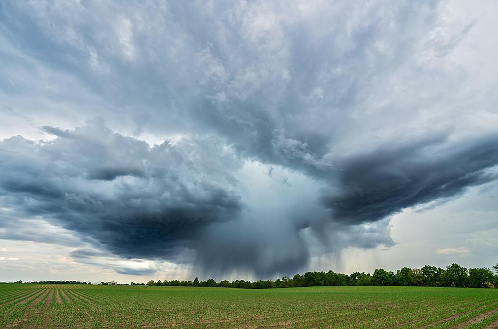
The Storm Prediction Center has placed almost all of Louisiana in the Marginal Risk zone for severe storms during the day on Wednesday and in the early hours of Thursday. Forecasters do not anticipate this being a major severe weather outbreak but the possibility of strong storms and gusty winds with the potential for tornadic activity can't be ruled out just yet.

Behind the front, winter will return to Louisiana. While today's high temperature will like top 70 degrees around the area, Thursday's temperatures will struggle to reach 50 degrees. Temperatures below freezing are expected on Thursday night and Friday night too. Freeze watches and or warnings might need to be posted for later in the week.
These Louisiana State Parks Have Cabins to Rent
More From Cajun Radio 1290 AM