Ian Is Now A Hurricane And Here Is The Latest Track
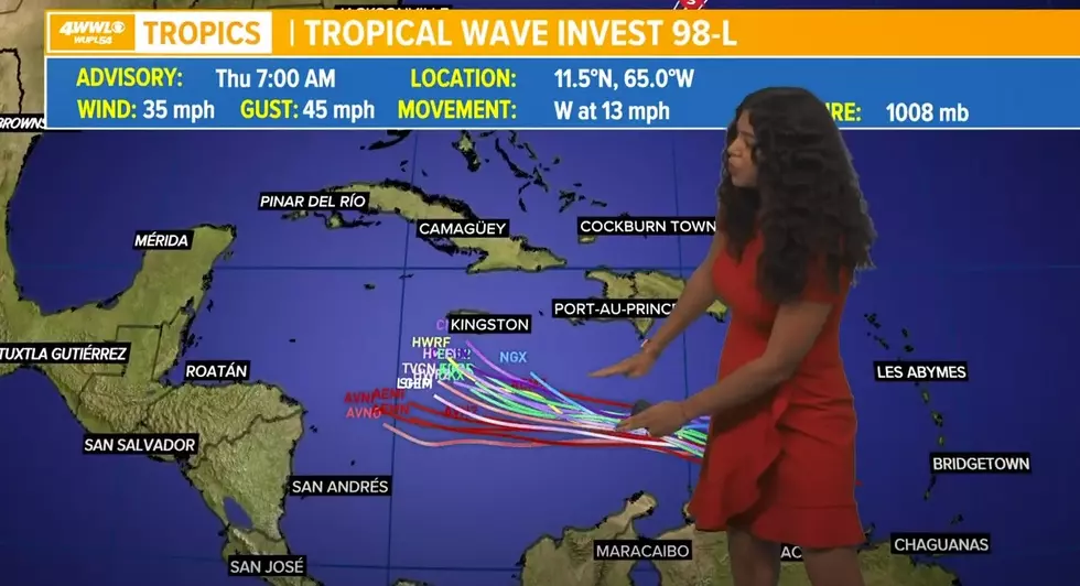
Over the weekend all eyes have been on the tropics from the Southeast Texas Coast to Florida. In Southwest Louisiana, we definitely have been watching the weather to see what the area of disturbed weather down in the Caribbean was going to do.
With the 7:00 am Central time updates, we may be able to take a deep breath for now here in South Louisiana. Overnight, Tropical Storm Ian had been upgraded to a category one hurricane.
The good news is that the track looks like it will stay East of us but the bad news is that our neighbors to the East in Florida may have something to worry about. Forecasters are anticipating that Hurricane Ian with begin to strengthen quickly and by this afternoon could already be a category two hurricane.
Below is the current forecast cone.
It looks like the cone spans from the Florida panhandle around the Destin Florida area all the way to the East coast of Florida around the Tampa Bay area. If you go right down the center of the cone of uncertainty, it looks like as of now that the North and Central part of Florida may take a direct hit.
All of us here in Southwest Louisiana are all too familiar with this kind of storm. It is forecasted to get as high as a category four hurricane which gives us memories of the same thing hurricane Laura ramped up to before making landfall here in Southwest Louisiana.
Our thoughts and prayers are with Florida and we will be on standby to help in any way we can.
The Impact of Hurricane Laura on Lake Charles
More From Cajun Radio 1290 AM


