Severe Weather Heading For Southwest Louisiana Tomorrow
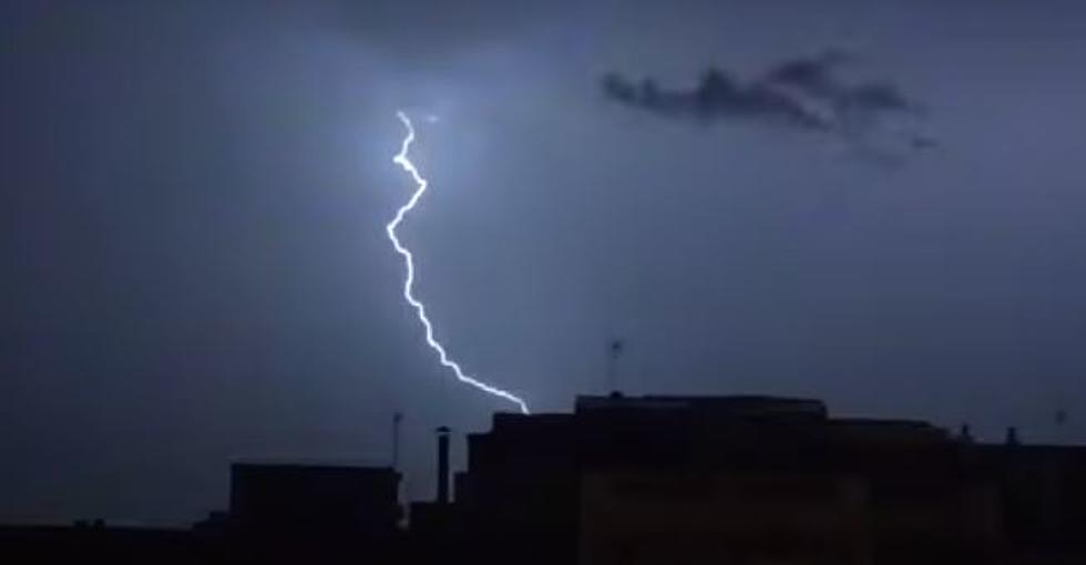
Severe weather including heavy rain, high winds, hail, and possible tornado activity will be rolling through SWLA tomorrow.
The beautiful weekend has given way to some very nasty weather heading our way tomorrow. In this article we'll go over the possible effects of the storm and when to expect the worst in SWLA.

KATC Chief Meteorologist Rob Perillo posted a future radar model of the storm. This thing is going to be huge, extending across the whole state of Louisiana.
This morning Meteorologist Donald Jones held a weather briefing concerning the upcoming storm heading for our area. According to Jones, we should expect the worst of the storm to roll through SWLA around lunchtime tomorrow.
Here's the National Weather Service forecast for tomorrow in SWLA:
- Tonight: Showers and thunderstorms likely, mainly after 5am. Some storms could be severe, with large hail, damaging winds, and heavy rain. Cloudy, with a steady temperature around 71. Windy, with a southeast wind 15 to 25 mph, with gusts as high as 35 mph. Chance of precipitation is 60%. New rainfall amounts of less than a tenth of an inch, except higher amounts possible in thunderstorms.
- Tomorrow: Showers and thunderstorms, mainly before 1pm. Some storms could be severe, with large hail, damaging winds, and heavy rain. High near 76. South wind 15 to 20 mph becoming west in the afternoon. Winds could gust as high as 30 mph. Chance of precipitation is 100%. New rainfall amounts between three quarters and one inch possible.
- Tomorrow Night: Mostly clear, with a low around 47. West wind 10 to 15 mph, with gusts as high as 25 mph.
As the saying goes, “hope for the best, prepared for the worst, and unsurprised by anything in between.” Please make sure you're ready for anything this storm can throw at us tomorrow. There may be the possibility for tornadoes to be associated with this storm front. So have your emergency plans in place.
Popular Television Shows Based on or Filmed in Louisiana
More From Cajun Radio 1290 AM