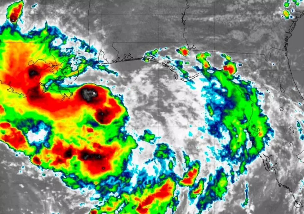
National Hurricane Center: Tropical Storm Barry 10 AM Update
The storm in the Gulf has strengthened enough to be named Tropical Storm Barry.
The newly coined TS Barry is now clocking 40mph wind speed and still moving west at 5mph. According to the National Hurricane Center, we should begin seeing wind from the storm around midday tomorrow here in SWLA.
It's now forecast to become a hurricane heading into the weekend. The projected path of the storm is still heading for a direct collision with Baton Rouge, with New Orleans being on the dreaded east side of the storm.
Now the word from the Weather Channel is that the Mississippi River is expected to rise about twenty feet, which is exactly the height of the levee system protecting NOLA.
Obviously, this causes a huge potential problem for the city with possible levee water breaches or even broken levees due to the strain of the rising water.
With SWLA collectively breathing a sigh of relief, there's still a chance that the storm could change its course and head for us.
Here's what Chief Meteorologist Wade Hampton of KPLC had to say regarding the storm's potential impact on our area.
Keep listening for Tropical Storm Barry updates and download our mobile app to stay up to date with all the latest information.
More From Cajun Radio 1290 AM
![Traffic Sign in Mandeville Louisiana Tells Jim Cantore to ‘Stay Home’ [PHOTO]](http://townsquare.media/site/34/files/2021/08/attachment-GettyImages-122594915.jpg?w=980&q=75)

![Meteorologist Suggests Where to Evacuate To Prior to Hurricane [PHOTO]](http://townsquare.media/site/34/files/2021/08/attachment-GettyImages-1031463982.jpg?w=980&q=75)


![Cowboy Stadium at McNeese University Takes In Lots of Water During Hurricane Deltas [PHOTOS]](http://townsquare.media/site/34/files/2020/10/Screen-Shot-2020-10-11-at-2.20.58-PM.jpg?w=980&q=75)
![Power Lines Coming Down in Lake Charles as Hurricane Delta Makes Landfall [VIDEO]](http://townsquare.media/site/34/files/2020/10/Screen-Shot-2020-10-09-at-5.22.33-PM.jpg?w=980&q=75)

