Concerns Over Tropical Development in Caribbean Remain Minimal
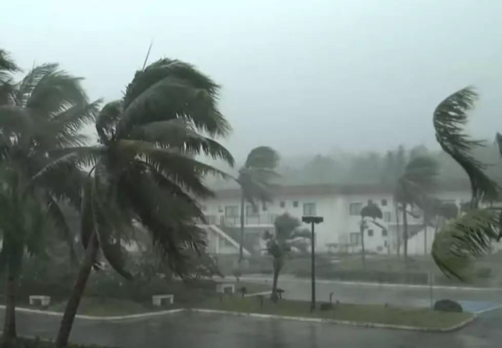
You may have seen the "hurricane model forecast" that was sweeping across social media while Hurricane Ida was still slogging across southeastern Louisiana. That "model" showed a tropical system affecting the Gulf of Mexico next week.
For those who saw that post back on August 29th, they were instantly taken back to last year when Louisiana got a one-two hurricane punch from Hurricanes Laura and Delta.
We are pleased to tell you that despite the fact that forecasters with the National Hurricane Center are monitoring an area of disturbed weather in the western Caribbean. There is no imminent tropical development forecast for the Gulf of Mexico at the current moment.

Now about that little yellow "x" that you see on the map above. That is being watched. The probability of that system developing into a tropical cyclone between now and next Tuesday is minimal at best.
The Hurricane Center describes that area of disturbed weather as a small low-pressure system. It is currently situated near the coast of Nicaragua. The weather system is producing showers and thunderstorms over that country and neighboring Honduras as well.

Forecasters are giving this system a 10% chance of development between now and Friday. The longer-range forecast only includes a 20% chance of development between now and Labor Day.
The system is forecast to move northwestward along the Nicaragua and Honduras coast. It should then push across Belize and the Yucatan peninsula of Mexico. By early next week, if the low-pressure system remains intact, it could emerge into the southwestern Gulf of Mexico.
Again the probability of this particular storm system spinning up into something stronger remains minimal at this time. It's something the Hurricane Center will watch but you shouldn't be paying too much attention to, at least right now.

Meanwhile, there is another tropical storm in the Atlantic Basin. This storm, named Larry, is expected to become a hurricane later today. The storm is then expected to intensify into a major hurricane by late Friday night.
As of now, the track of Larry is forecast to bring the system into the middle of the Atlantic Ocean west of Bermuda. Of course that forecast, like every weather forecast, is likely to change.
Now, if you're wondering what the forecast for the Labor Day Weekend across South Louisiana will be, our answer won't surprise you at all. There will be heat. There will be humidity. There will be scattered afternoon thunderstorms. And, there will be football, a lot of football.
10 Highest Paid College Football Coches
More From Cajun Radio 1290 AM