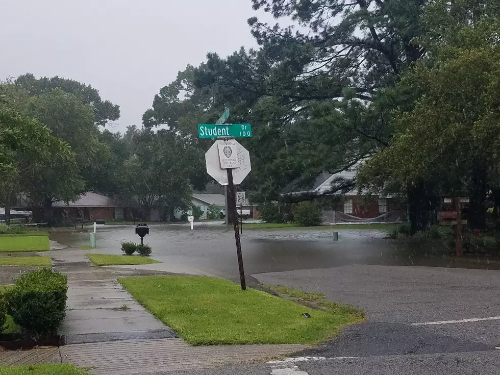
If you get water inside of your car from the Louisiana floods, there's one effective, simple thing you can do to help get the moisture and smell out of your vehicle.
Remember the intense flash flooding that hit Shreveport-Bossier last week? While those waters receded, a new threat is emerging. The Red River is rising fast, now sitting just inches below "Action" flood stage. With severe flooding happening upstream and heading our way, the river is forecast to cross into flood stage territory this week. Get the critical details on what this means for the Shreveport-Bossier area.
With the Mississippi River expected to crest at 16.5 feet on April 25, Louisiana officials are implementing flood prevention measures in New Orleans, St. Mary Parish, and beyond.
A new sea level rise projection shows much of coastal Louisiana—especially Vermilion Parish—at risk of being underwater within the next 25 years. See the map.
Forecasters with the National Weather Service say much of Louisiana will be at risk for strong storms, flooding rains, and possible tornadoes on Thursday.
The National Weather Service is urging caution in both northern and southern Louisiana as a "potentially dangerous for two different reasons" forecast unfolds .
The National Weather Service has released detailed information on what time cities in Louisiana can expect strong storms on Sunday. Here's the outlook.
Rainfall amounts in excess of five inches have been reported across South Louisiana last night and this morning. Flood warnings have been posted with more heavy rain on the way.