
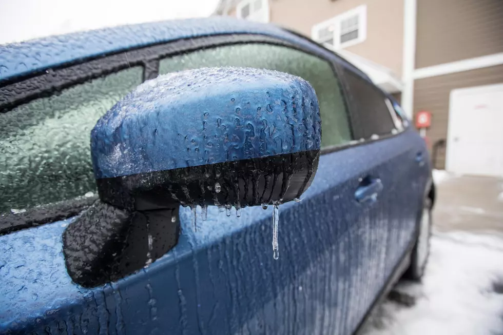
More Forecasts Suggest ‘El Nino Snow’ For Louisiana This Winter
(KMDL-FM) As someone who has been closely watching weather forecasts in South Louisiana for more than three decades, I can say with little room for error that we have successfully predicted maybe two of the last ten snowstorms that affected or were supposed to affect the state.

Forecasting winter weather in the Gulf South is a lot like trying to predict the outcome of a roulette wheel; you're going to be wrong a lot, and this might be one of those cases too, but there are more and more long-range forecasts that seem to suggest a cold and wet winter for Louisiana because of a strengthening El Niño in the Pacific Ocean.
The El Niño phenomenon refers to warmer-than-average sea surface temperatures in the tropical Pacific Ocean. This temperature change affects how wind currents flow around the Earth, especially the high-speed upper-level jet stream.
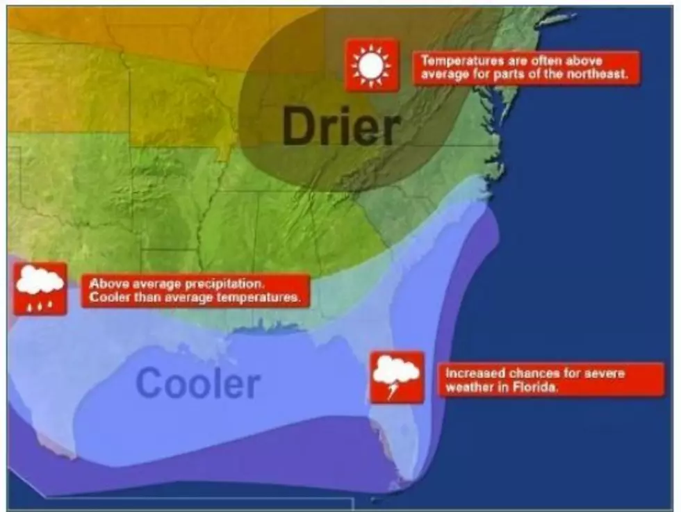
A strong El Niño can effectively move those jet streams further north or further south; in this case, the thinking is that El Niño will pull the subtropical jet stream further south. This will mean more moisture over the area. And because there will be more moisture, there is a better likelihood that falling precipitation will occur when temperatures are near or below freezing.
The other thing to consider about a Super El Niño and weather in the Gulf South is the potential for more outbreaks of severe storms. As you can see from the National Weather Service graphic below, during El Niño years, the storm track passes a lot closer to Louisiana than in La Niña years.

The increased moisture and instability could lead to earlier outbreaks of strong storms even before the transition from summer into fall and winter into spring begins. In fact, Louisiana's most prolific months for severe storms are August and September. Followed by March. So, things could get bumpy in The Boot over the next few weeks.
READ MORE: Louisiana's 10 Snowiest Cities
With an increased threat of rain and storms, it's natural to assume an increase in cloud cover, which will also keep temperatures cooler. Will it keep them cool enough to transition liquid water to solid ice? I am pretty sure there will be at least one or two evenings in the coming months when we'll all be asking that question.
READ MORE: Which Louisiana Parishes Get the Most Tornadoes?
Incidentally, the historic best times for snow in South Louisiana are the final two weeks of January and the first two weeks of February. If you look at your calendar for 2027, you will see Mardi Gras is right in the middle of that sweet spot for snow, ice, and things that make you go brrr.
9 Very Unpopular Opinions About Lafayette and Acadiana
Gallery Credit: Bruce Mikells